Carte de cartographie sociale
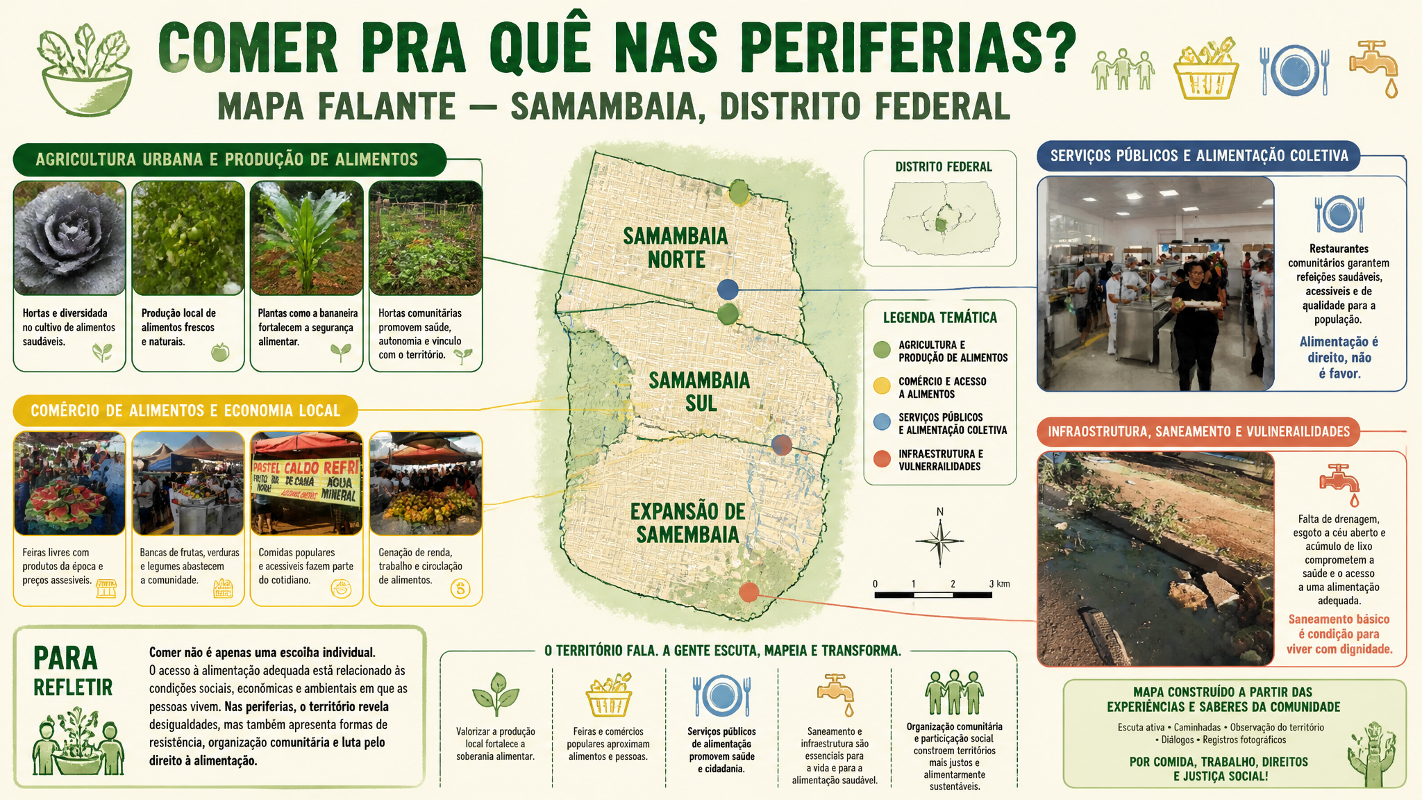
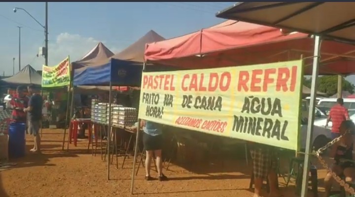
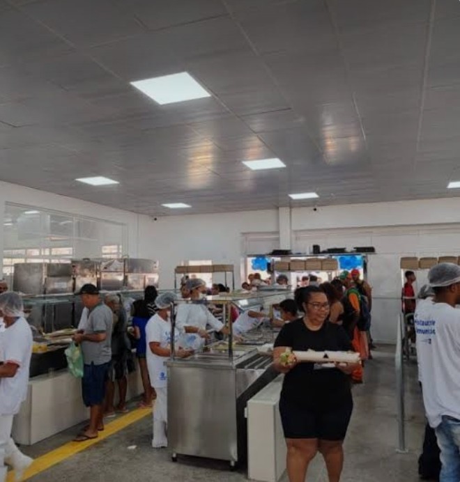
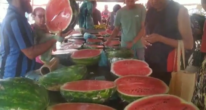
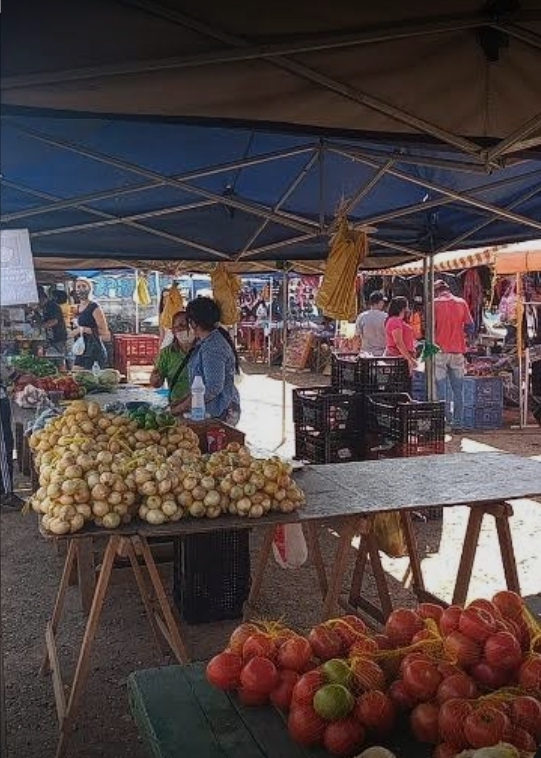
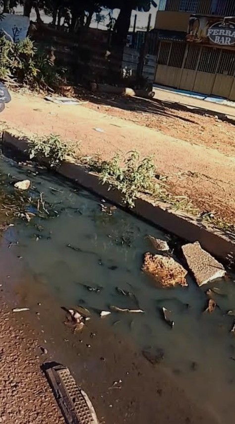
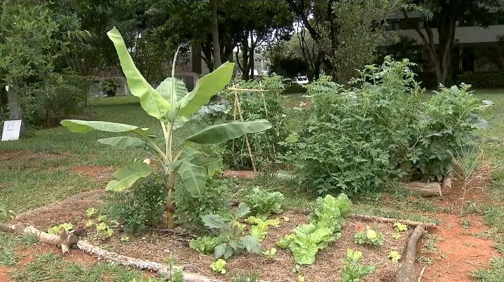
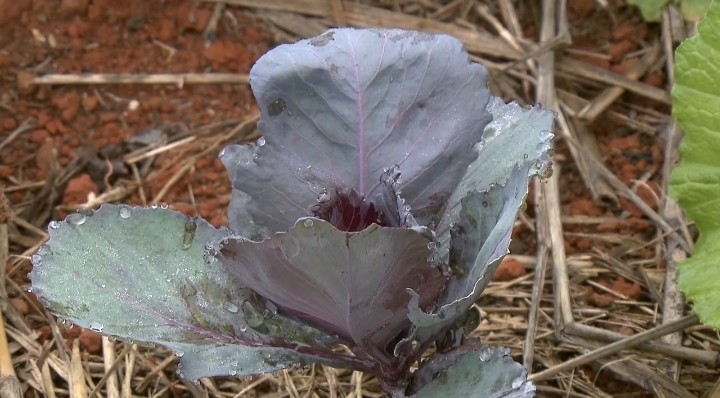
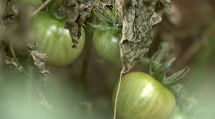
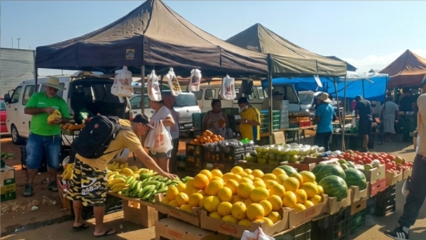
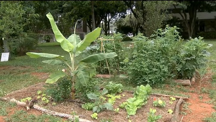
Create a social cartography map (mapa falante) in horizontal 16:9 layout titled "COMER PRA QUÊ NAS PERIFERIAS? MAPA FALANTE — SAMAMBAIA, DISTRITO FEDERAL". Center a stylized map of Samambaia (Samambaia Norte, Samambaia Sul, Expansão de Samambaia) in Distrito Federal, Brazil. Arrange the provided reference images around the map in small framed panels connected by lines and colored markers. Use green markers for garden/agriculture images (purple cabbage, tomatoes, banana plant, vegetable garden), yellow for market/food commerce images (watermelons, produce stands, food stall banner), blue for the community restaurant/cafeteria line image, and red/orange for the drainage ditch/infrastructure image. Color scheme: green for agriculture and healthy food, blue for public services, yellow for food commerce, red/orange for infrastructure problems and vulnerability. Include a prominent text box with the reflection: "Comer não é apenas uma escolha individual. O acesso à alimentação adequada está relacionado às condições sociais, econômicas e ambientais em que as pessoas vivem. Nas periferias, o território revela desigualdades, mas também apresenta formas de resistência, organização comunitária e luta pelo direito à alimentação." Add small Portuguese captions for each photo group explaining the theme. Use icons for food, sanitation, agriculture, and infrastructure. Academic social cartography style with harmonious palette, not a poster or photo collage. All text in Portuguese.