Satellite Image Editing AI
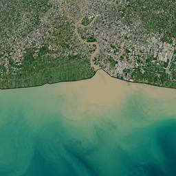
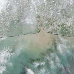
Edit satellite images with AI and get clearer views fast. Remove cloud cover over a city, sharpen coastlines after a storm, or brighten farmland fields for a crop check. Make raw overhead shots easier to study and share. See examples below.
Try It FreeBefore & After
Community Examples